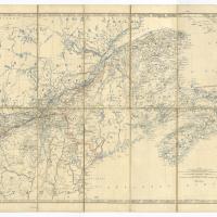
Map of the British Provinces of North America in 1860
Item
-
Title
Map of the British Provinces of North America in 1860
-
Description
Map of the British Provinces of North America in 1860. A large, folding, linen backed map of Canada with part of New Brunswick & Nova Scotia, showing the Line of Grand Trunk Railway and its connections, by Keith Johnston. The map is published by W & A.K. Johnston, Edinburgh, Geographers to the Queen.
-
Subject
Map; North America; Canada; Grand Trunk Railway
-
Source
George Henry Seymour fonds, 1855-1860, RG 662
Contribute
Login or click your token link to edit this record.