Maps
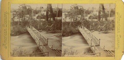
The first map marks the locations of many of the sites depicted in the stereo cards. Clicking on the location will display the related stereo card. The sketch below is from around 1830 and shows the area around the Falls as it was at that time. While this sketch predates many of the sites featured in this exhibit, it shows certain landmarks that no longer exist, such as Cedar Island and the ledge at Table Rock. The severity of the rapids in different parts of the river are also noted. The gradual erosion of the Horseshoe Falls has changed its shape and location over time, which can be seen when comparing the two maps.
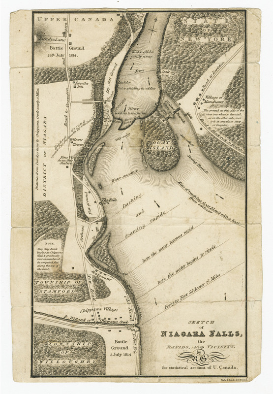
Sketch of Niagara Falls, the Rapids and Vicinity, ca. 1830.