Welland Canal Survey Map, Book 1, Map 10 - St. Catharines, c.1855
Item
Title
Welland Canal Survey Map, Book 1, Map 10 - St. Catharines, c.1855
Creator
Board of Works - Welland Canal Company
Date
c.1855
Description
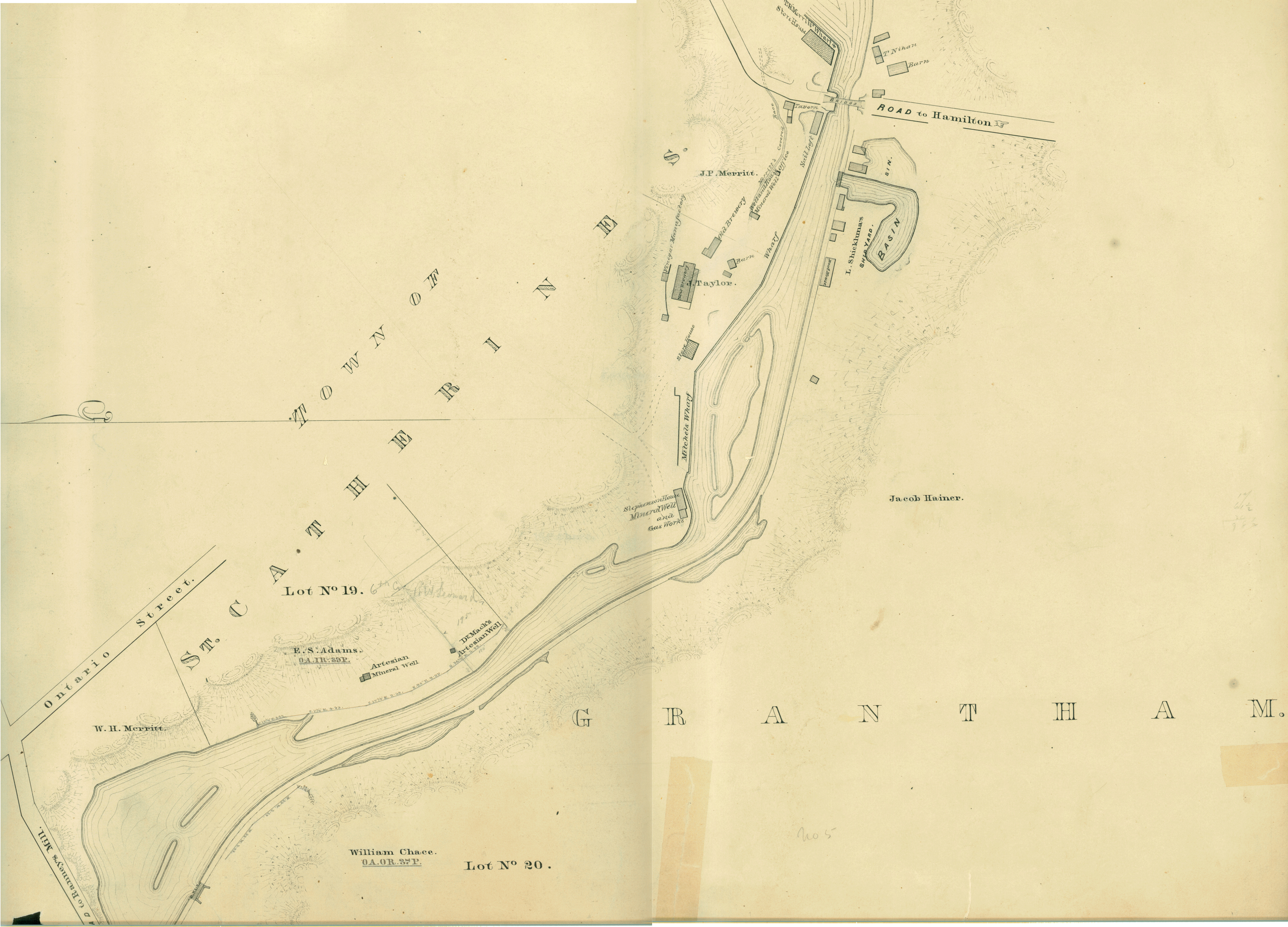
Survey map of the Second Welland Canal created by the Welland Canal Company along the western edge of the Town of St. Catharines. Although not labelled, the Second Welland Canal can be seen running through the map along with its tow path, which is located on the southwestern edge of the waterway.
The surveyors' measurements and notes can be seen in red and black ink and pencil.
Local area landmarks are identified and include streets and roads (ex. Ontario Street and Road to Hamilton), Artesian Mineral Well, Dr. Mack's Artesian Well, Stephenson House Mineral Well and Gas Works, New Brewery, Old Brewery, Welland House Mineral Well, Louis Shickluna's Shipyard, Vinegar Manufactory, Merritt's Covered Race, Mitchels Wharf, Sail Loft, an office, a tavern, two barns, a boathouse, a structure belonging to T. Nihan (or P. Nihen), and some store houses.
Properties and property owners of note are: Concession 6 Lot 20, William H. Merritt, E. S. Adams, William Chace, Jacob Hainer, J. Taylor, and J. P. Merritt.
Format
Width: 100 cm
Height: 45 cm
Height: 45 cm
Language
English
Place
St. Catharines, Ontario, Canada
Contributor
Original maps are held by the Brock University Archives & Special Collection. This map has been reproduced with permission.
Relation
St. Lawrence Seaway Authority (Canada) Fonds - RG 422, Brock University Archives
Rights Holder
© St. Lawrence Seaway Authority (Canada). © Transport Canada.
Subject
Welland Canal
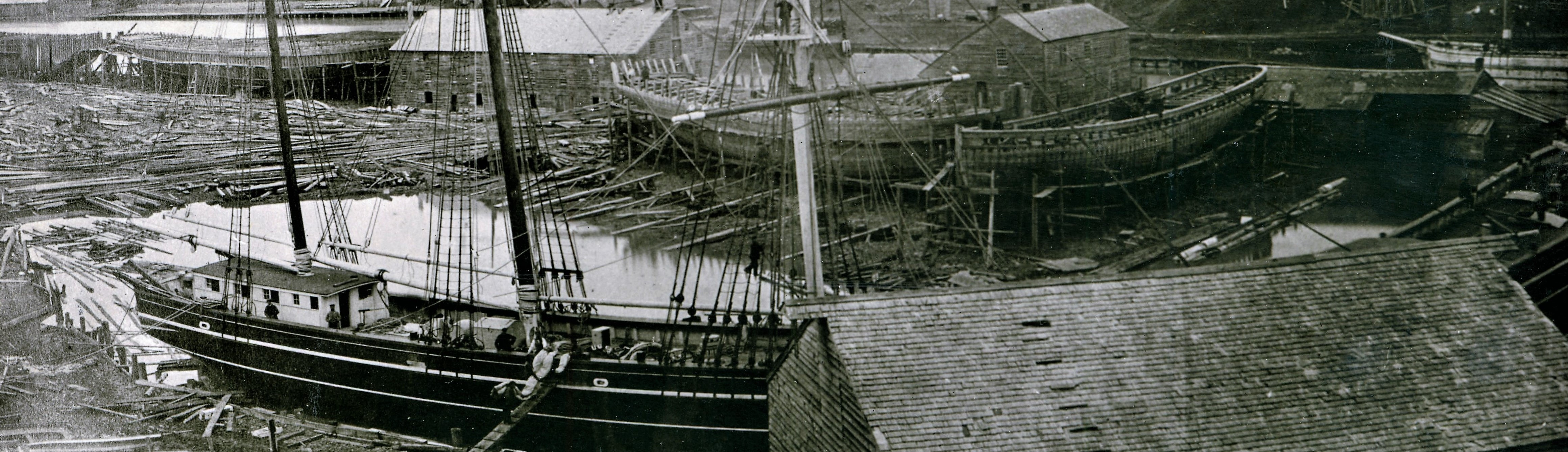
Shipbuilding
Shipyard
Surveys
Surveyors
Rivers
Bridges