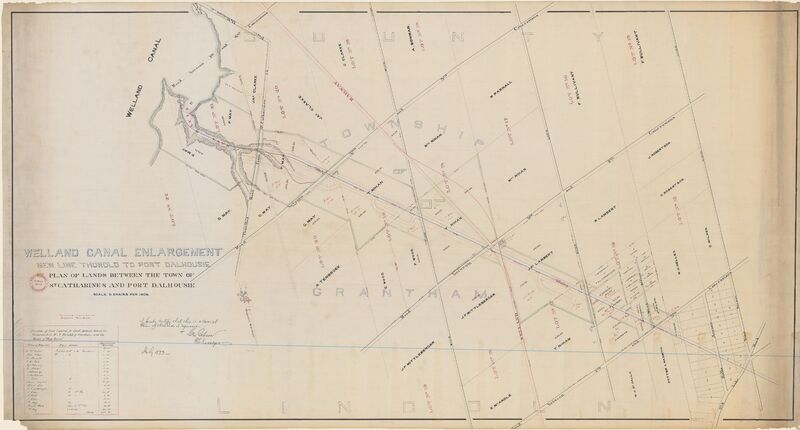
The Third Welland Canal
The Third Welland Canal was built in 1875 and it intersected between country land from Twelve Mile Creek to Thorold. It took 8 years to construct the canal. This artefact is a map which displays the planned course for the Third Welland Canal. There are names of landowners, lot numbers, small section of the street plan of St. Catharines and Lake Road area. The surveyor, Geo Gibson, signed the map. This is a digital copy of the map, the original is at Archives Canada.
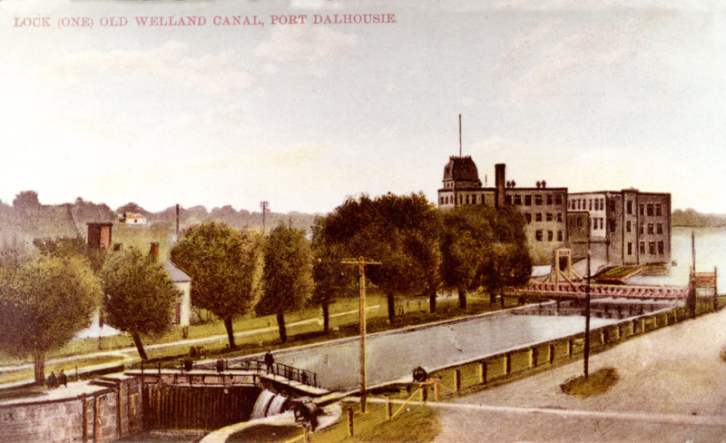
Lock 1 was right beside the Lock Control Office. It was used in the duration of the Third Welland Canal (1887-1932). It operated until 1969. Weir was right beside the lock and he controlled the levels of the water. This is a postcard of Lock 1 at the Third Welland Canal.