Land Marks
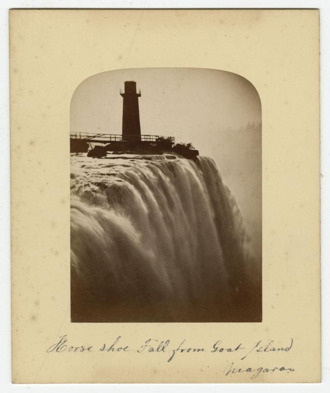
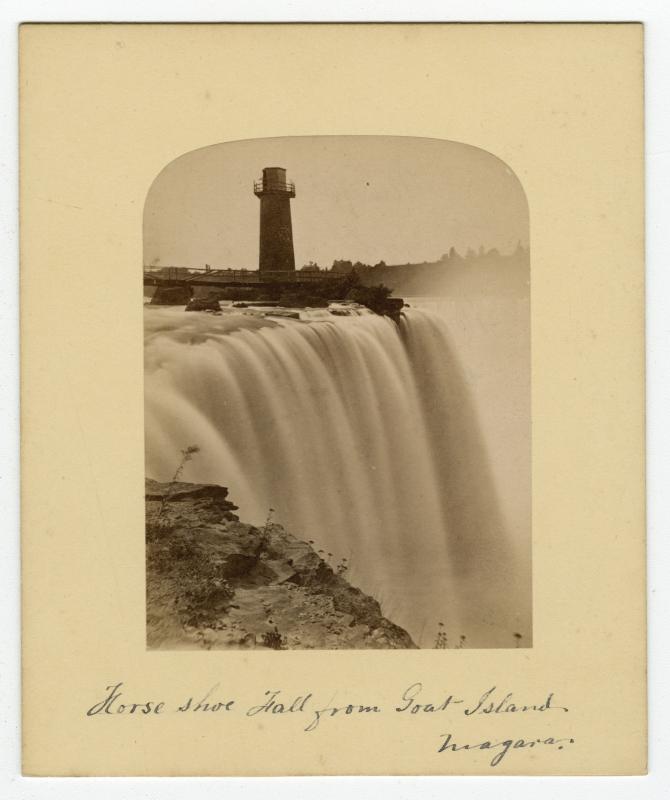
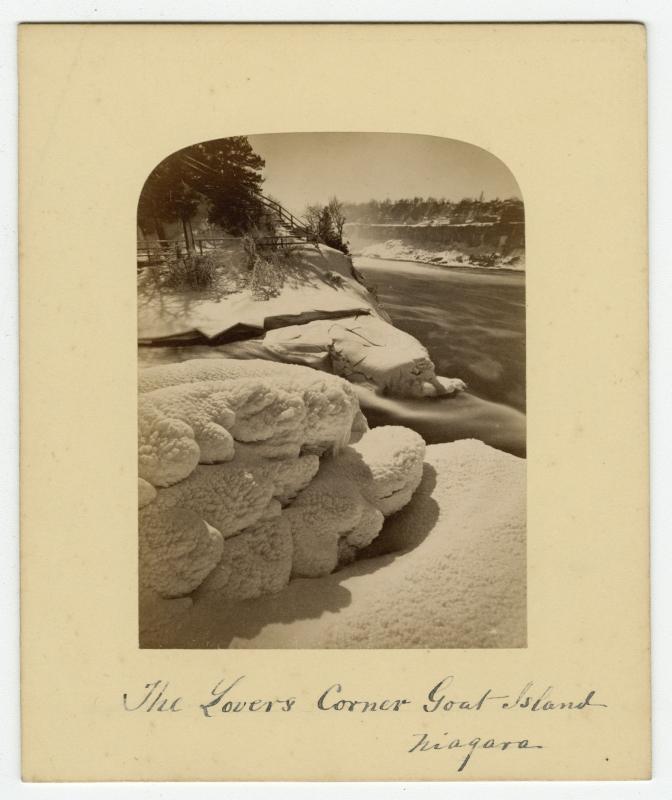
Goat Island
In 1770 John Stedman (1744-1797), who had been tasked with reorganizing the way materials were transported and portaged along the Niagara River, named the island situated on the American side of the boarder above the falls, Goat Island.
In August 1764 the Seneca People gave up portions of land along the east side of the Niagara River as well as and the islands upstream from the falls to Sir William Johnson after the peace talks with the British. Stedman claimed the island and land above the falls for himself stating that the land was granted to him. He named the island Goat Island and used it to raise goats. In 1801 the State of New York took possession of Stedman's land. General Augustus Porter, a United States Commissioner, renamed the island Iris Island, after the Greek Goddess of the Rainbow, but it soon reverted back to Goat Island due to the resistance to the name change.
In 1816, Augustus Porter bought Goat Island from the State of New York. Between 1817 and 1818 Porter built two bridges from the mainland to Goat Island. The first, a wooden one, was destroyed by ice, while the second bridge made of steel, built closer to the falls, was in turn replaced by an iron bridge in 1856.
On July 15th 1885, the State of New York declared the island and some of the mainland territory the New York State Niagara Reservation Park.
https://www.niagarafallsinfo.com/?s=goat+island
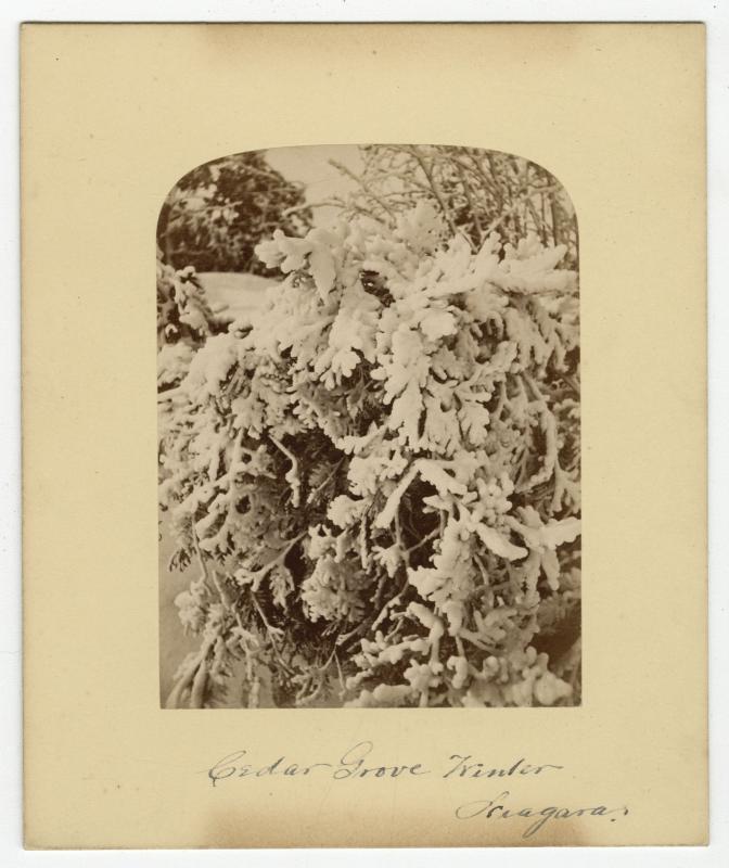
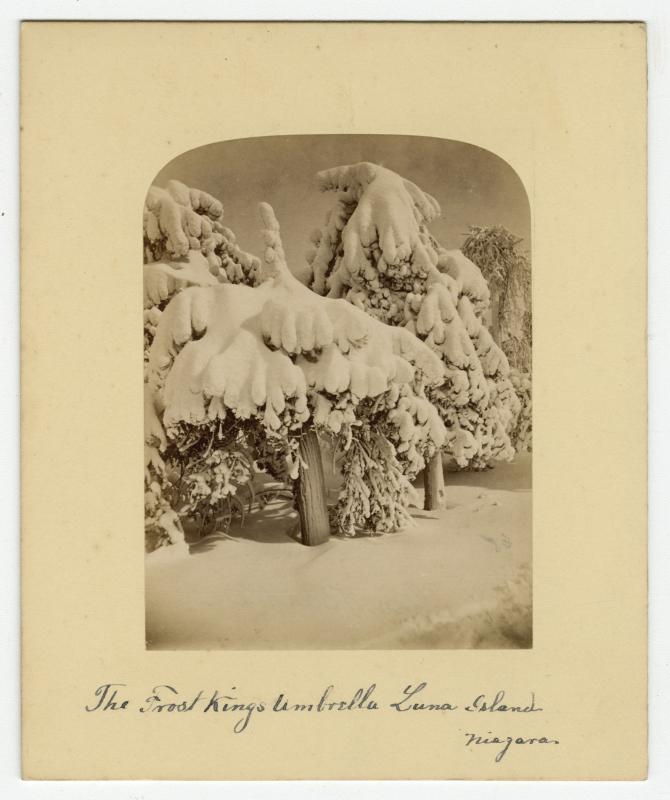
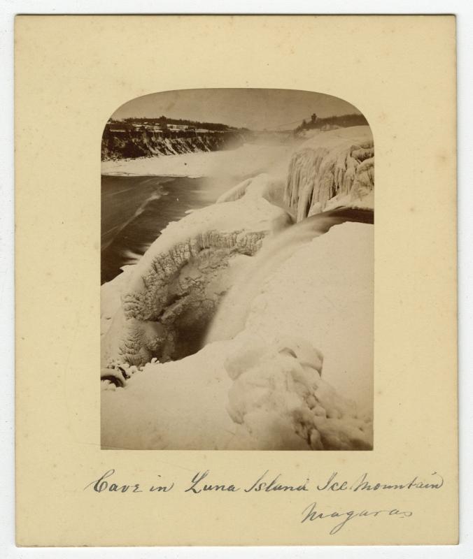
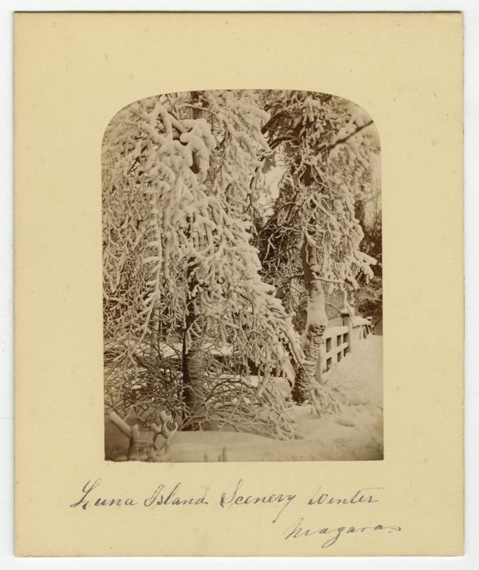
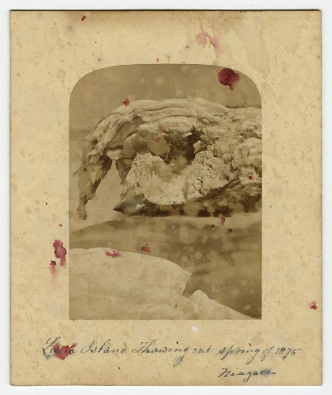
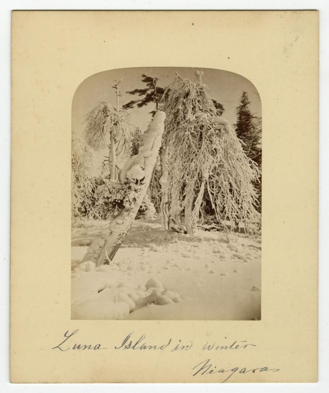
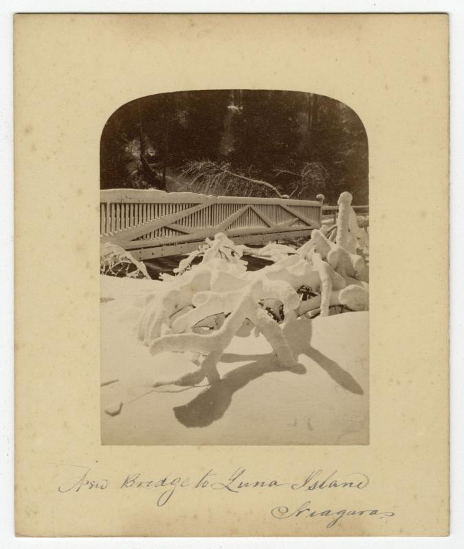
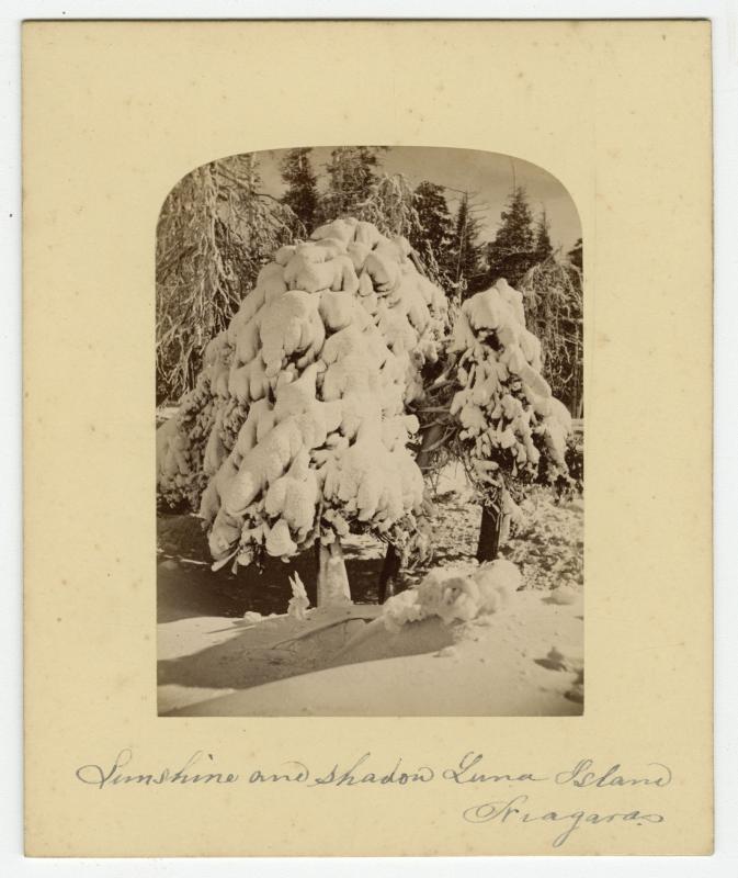
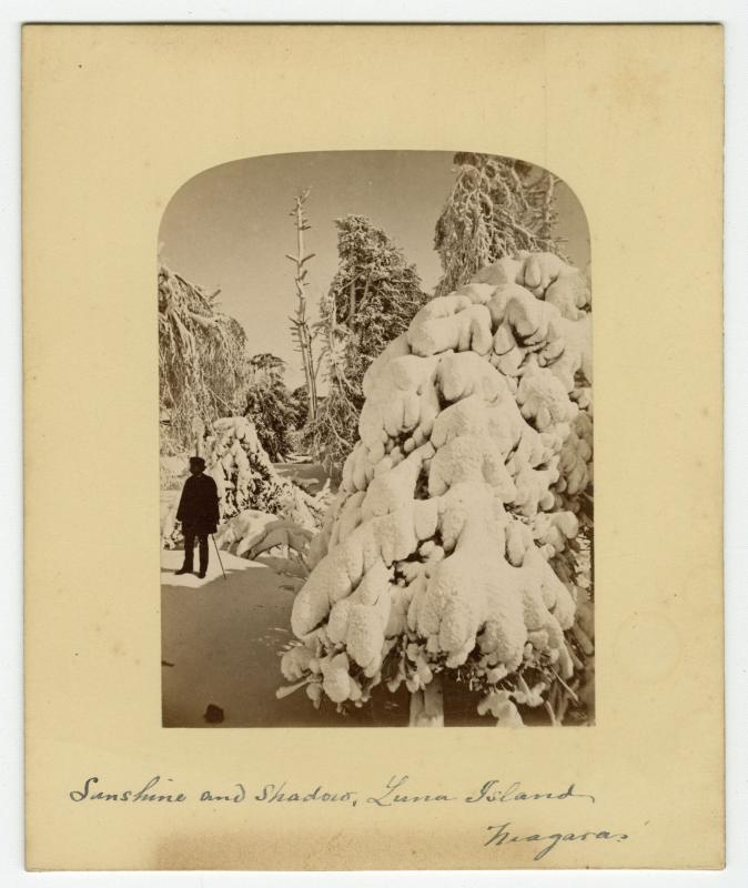
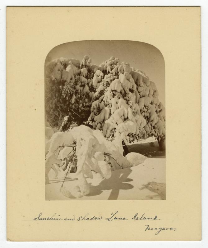
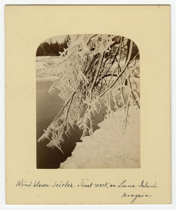
Luna Island
Luna Island, originally Prospect Island, is located along the north side of Goat Island at the edge of the Niagara Gorge. Luna Island separates the American Falls and the Bridal Veil Falls. Its name derives from the fact that in the 1800’s famous lunar rainbows were seen over the island on bright moonlit nights.
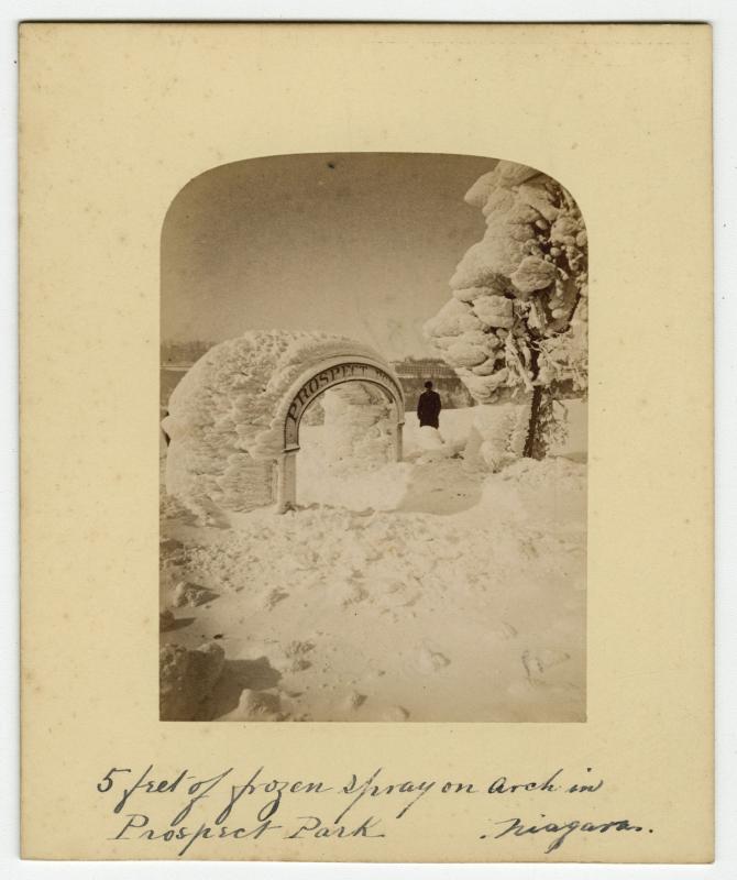
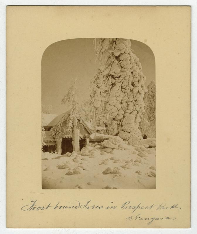
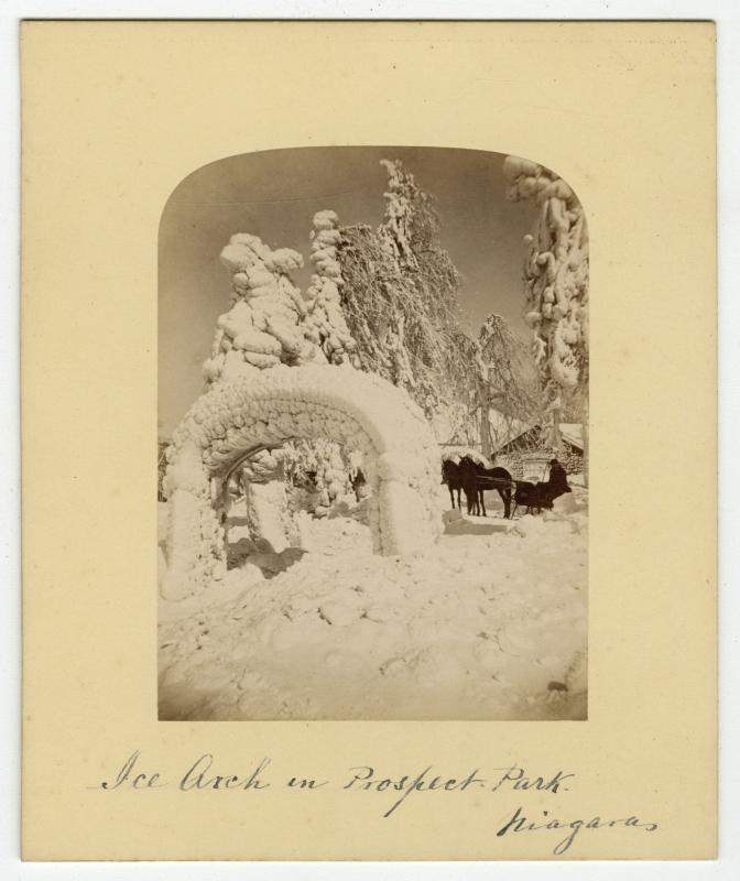
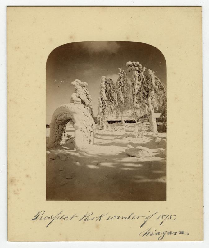
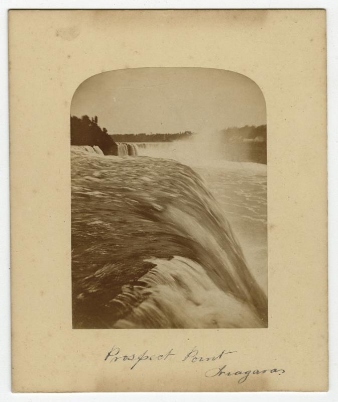
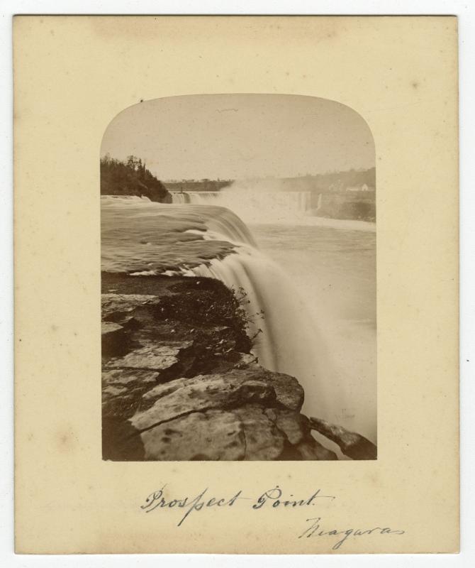
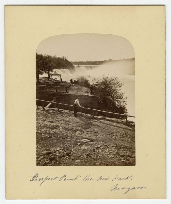
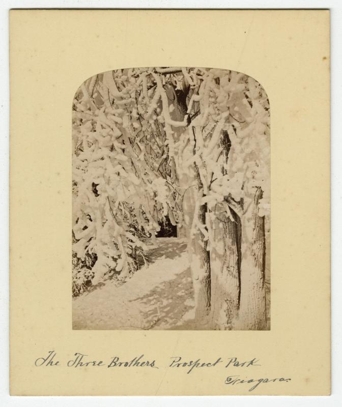
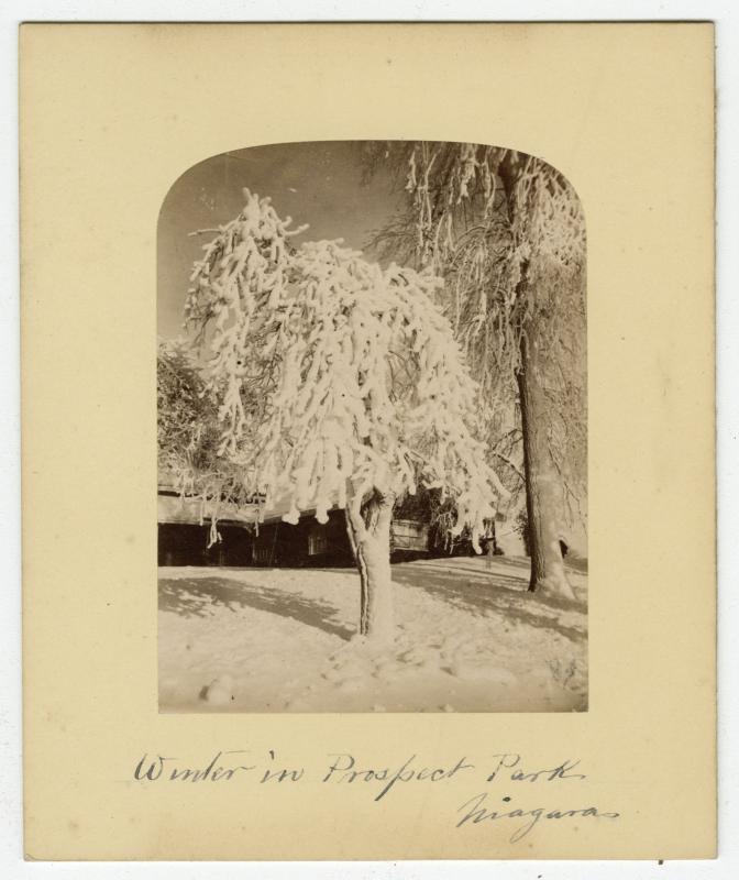
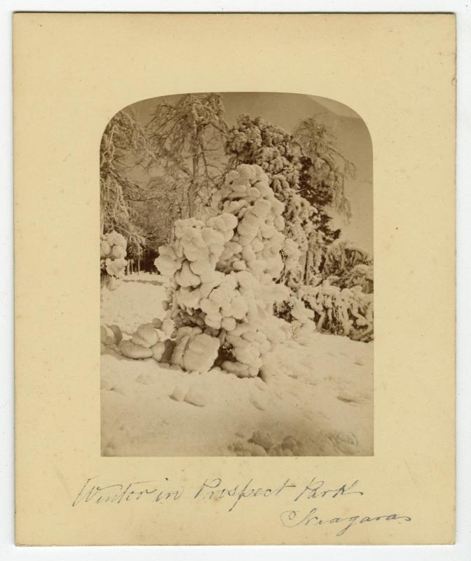
Prospect Park
The new Reservation State Park established 1885 consist of 412 acres and included Prospect Park, Goat Island and Bath Island and was officially opened to the public on July 15th 1885.